Tours
Geography of Rodos Island
 The Greek archipelago, serving as a bridge to link East and West, a crossroads and a meeting-point
for three continents - Europe, Asia, Africa - and three different worlds, was the
birth-place of the most ancient civilisations. For centuries it attracted peoples to
settle within its borders and was bustling with life at periods when mainland Greece was
in decline.
The Greek archipelago, serving as a bridge to link East and West, a crossroads and a meeting-point
for three continents - Europe, Asia, Africa - and three different worlds, was the
birth-place of the most ancient civilisations. For centuries it attracted peoples to
settle within its borders and was bustling with life at periods when mainland Greece was
in decline.
In this world, at its south-eastern extremity, lies Rodos, the fourth largest of
the Greek islands. It has an area of 1,398 sq. km, belongs to the Dodecanese group of
islands, is 246 nautical miles from Piraeus, and, has a permanent population of 100,000.
Its shape is elliptical, and it has a maximum length of 77 km., while its greatest breadth
is 37 km.
A 47 km channel separates it from the island of Karpathos and a narrower one, of 37 km,
from the coast of Asia Minor. Rodos, like the rest of the islands of the Aegean, was
created by the fragmentation of Aegis, the continent which extended from the Ionian Sea to
Asia Minor and the northern coast of what is now Crete. The island's terrain is
mountainous. Its rocks, which are of limestone and schist, form a mountain backbone in the
centre of the island: Mt Atavyros with its peaks - Akramytis in the south-west, 823 m. at
its highest point, Atavyros in the middle at 1,215m, and Profitis Ilias to the north. The
mountain mass gives place to plains which are of limited area, but fertile. The island's
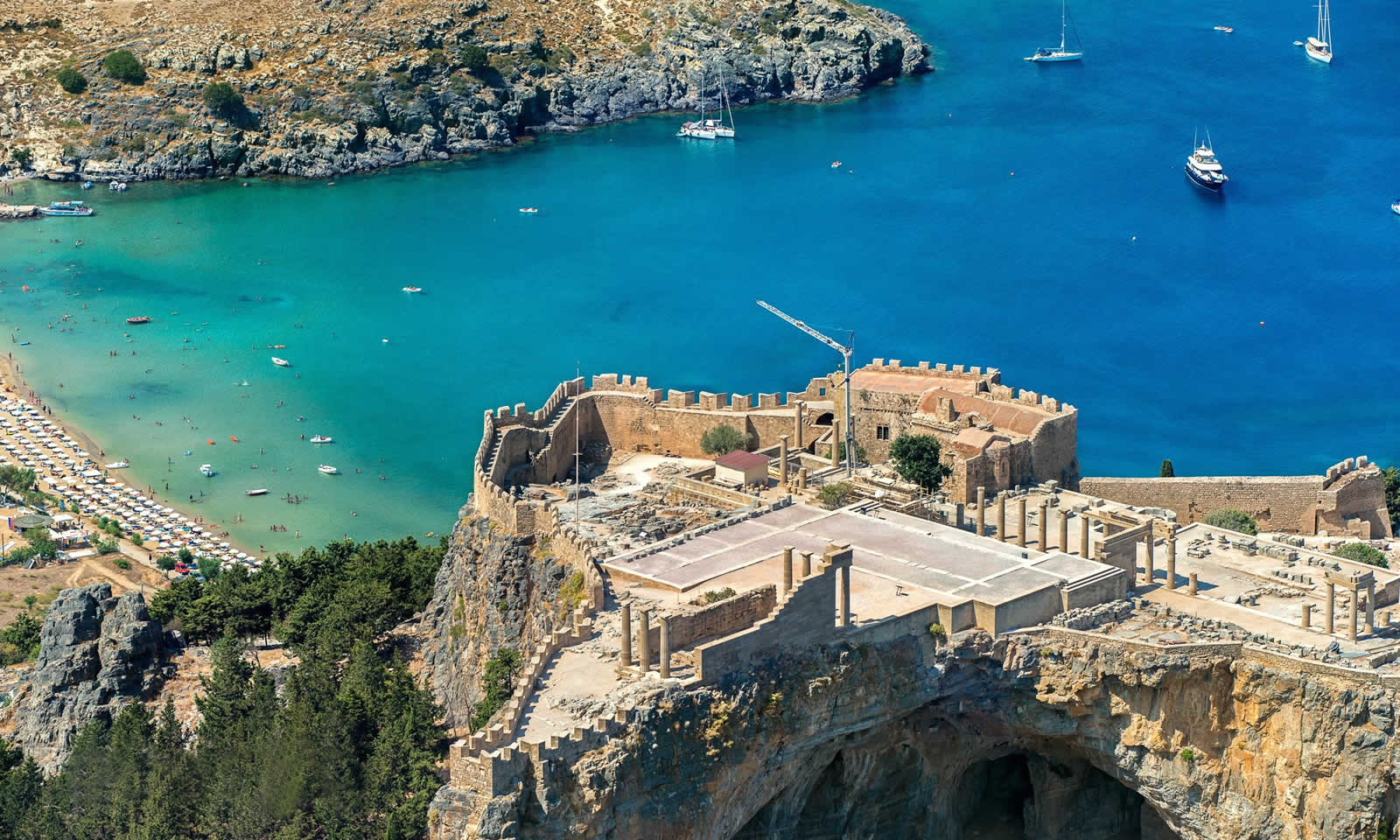
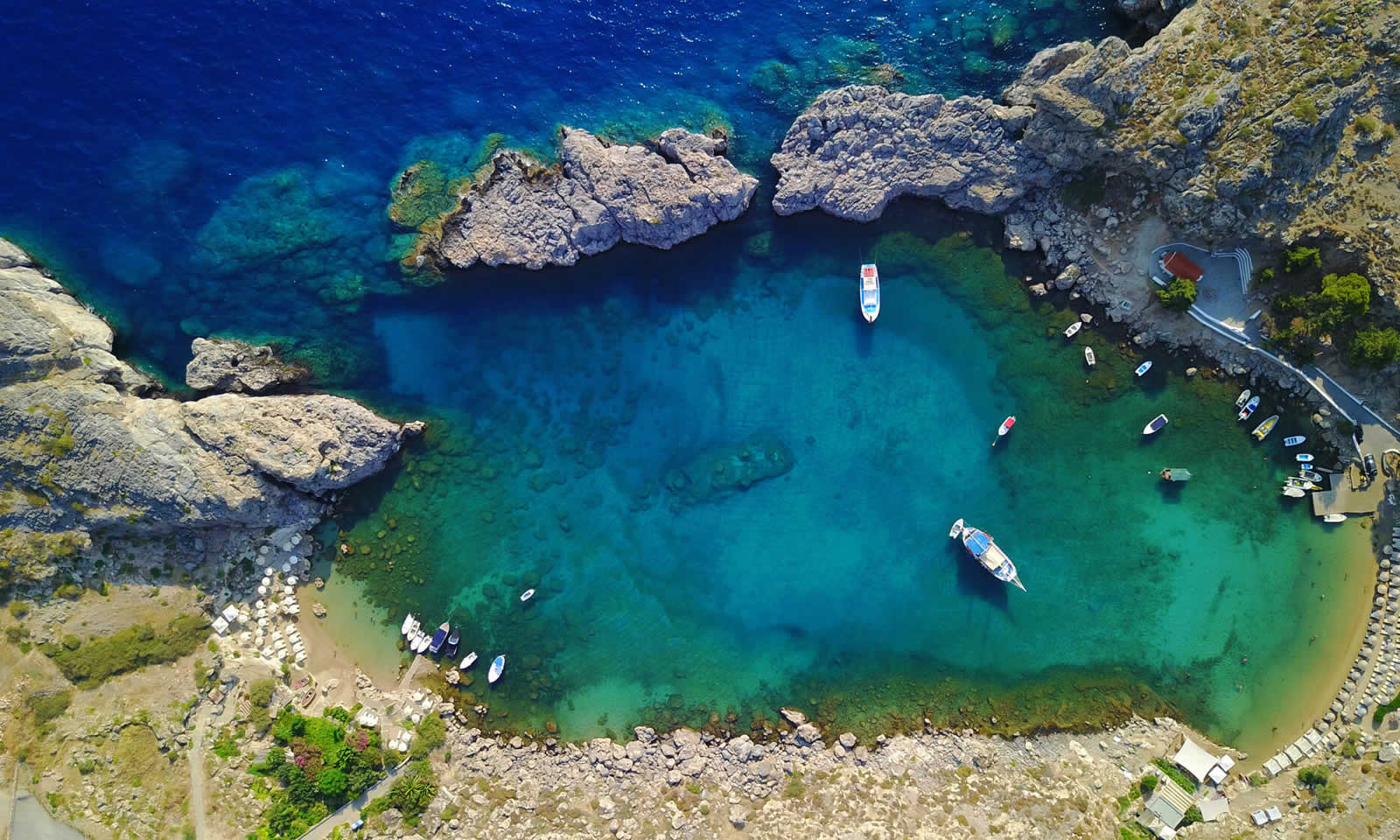
coastline is indented with innumerable beaches, mostly sandy, wide bays, and headlands,
such as Zonari in the north-east on which the city of Rodos stands - Lardos or Fokas in
the east, Armenistis in the west, and Prassonisi in the south. The latter is joined to the
rest of the island by a narrow spit of land and becomes an islet when the sea level rises.
Rodos has a Mediterranean climate, with an average temperature of 18 - 20", mild
winters, and cool summers (thanks to the cooling north-easterly which blows in the summer
months). It has a high number of hours of sunshine (some 300 days a year) and high
humidity.
 It is the sunshine and humidity that account for the island's lush vegetation. Rodos, though
mountainous, is green all over, the only exception being the area around Mt Atavyros,
which underwent deforestation during the period of Turkish rule as a result of
uncontrolled woodcutting.
It is the sunshine and humidity that account for the island's lush vegetation. Rodos, though
mountainous, is green all over, the only exception being the area around Mt Atavyros,
which underwent deforestation during the period of Turkish rule as a result of
uncontrolled woodcutting.
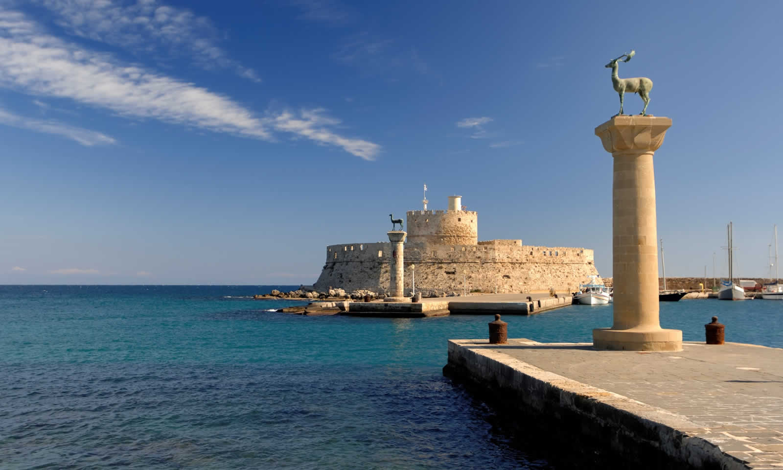
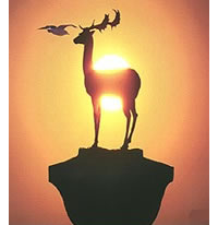
Typical of its flora are conifers, plane trees, oaks, thyme, capers, cyclamens and many
other kinds of wild flowers. Of its fauna, a kind of deer, the platoni, which lived
in the woods from prehistoric times, is particularly associated with the island.
The economy of Rodos, before the tourist boom, was based on farming and stockbreeding
(chiefly cattle, but with some sheep and goats). Nowadays, large numbers of the islanders
are employed in some way in the tourist industry, while the rest continue in the
traditional occupations. The island's principal products are olive oil, wine, vegetables
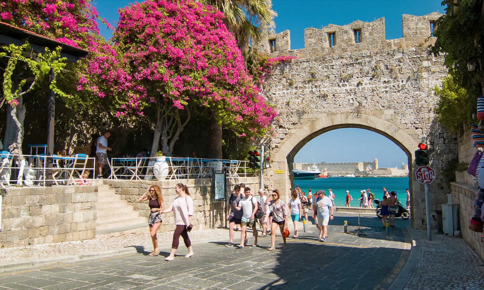
and citrus fruit. The capital is the city of Rodos, which is also its port and the
starting-point for a good road network which takes in its villages and places of interest.